Final Project proposal
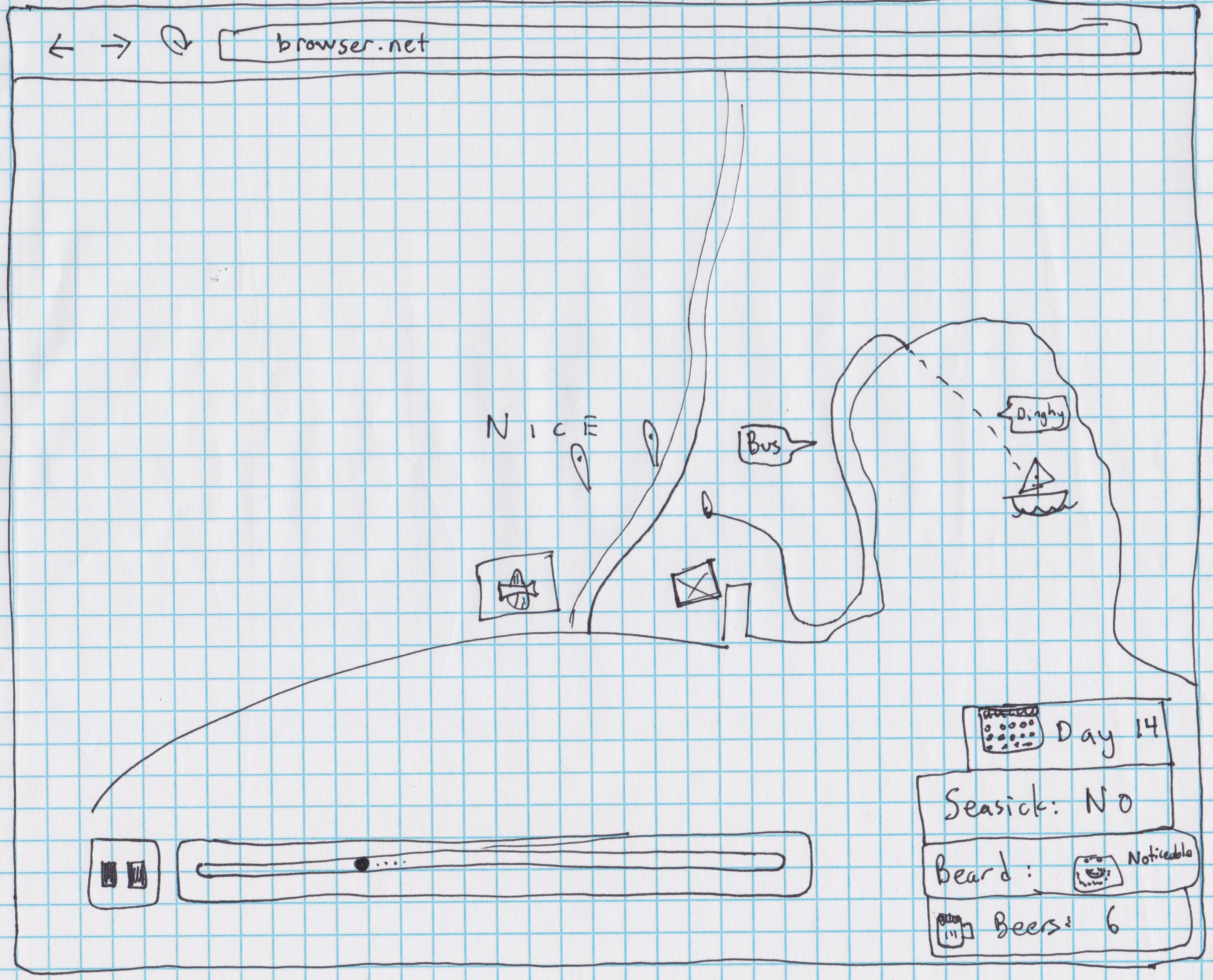
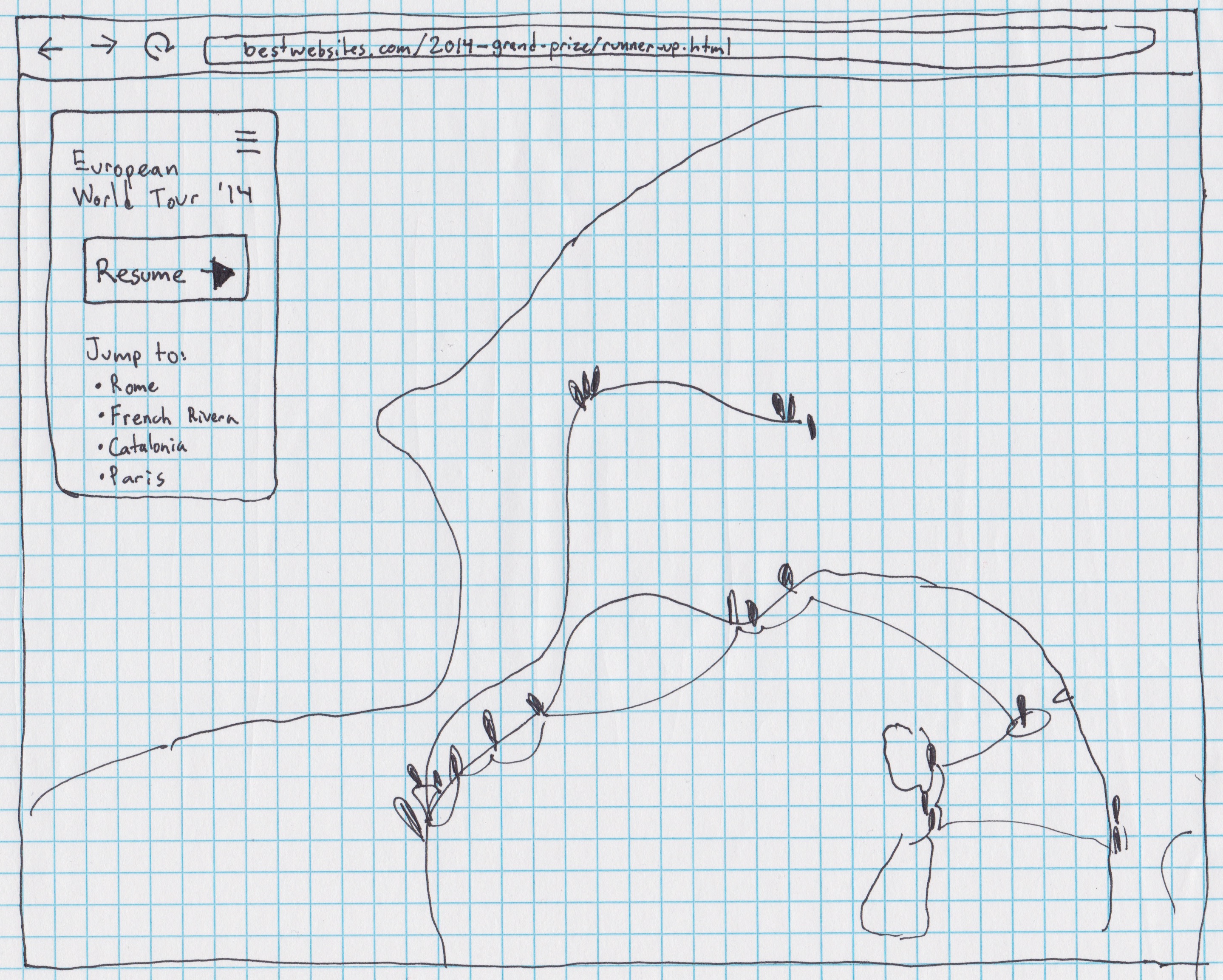
For my final project, I plan to create a single-page, map-centric website, around the geographic content of my European sailing trip I took this summer. In order to create a rich experience and go beyond being a simple web map, the site will have two modes: One "macro view" mode that will be a conventionally browsable web map, and one "micro view" mode that will present the map elements as a chronological series of events, playing back and appearing in order, with additional storytelling elements as well. It will be possible for users to switch between the two modes, probably simply by zooming to different levels on the map. The extra bits beyond simple placemarkers that I plan to include in the storytelling view include photos I took and sections that update based on status-like things. I traveled by sailboat, train, and foot on the trip, and "Currently traveling" is one status that could be displayed. I also grew out my beard and cataloged the beers I drank, so "beard status" (i.e., "stubbly," "scruffy," "just shaved") and "Beers consumed" could be other status bits.
This project will benefit me by giving me practice in creating a map-centric webapp, which is what I think I will be doing as the main aspect of my thesis project. I hope to gain experience working with the Leaflet.js mapping library, and other pieces that are useful in interacting and presenting a map frontend. For others, I hope to create a webpage that marries the spatial aspect of maps with the temporal aspect of a specific journey in a way that is interesting and unusual.
Wireframes
Macro/Browse view:
Micro/Story view: